
 Buy Photo
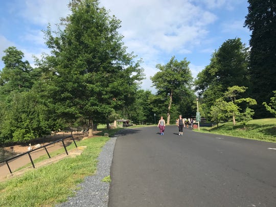
Gypsy Hill Park in Staunton. (Photo: Monique Calello/The News Leader)
STAUNTON – Do you want more recreation routes for walking or cycling in Staunton? Here’s your chance to have your voice heard.
The Bicycle and Pedestrian Advisory Committee wants the community to share their input on a greenway plan in Staunton through an online survey. The committee has proposed four greenway routes in the city.
The survey can be found on the city’s website under the community development department then under the planning and zoning tab that reads “greenways.” Or by clicking here.
The plan envisions enabling citizens to walk or cycle among destinations in all major directions with routes that would be used for recreation and transportation, using a combination of existing infrastructure and multi-use paths, the release said. Residents could use those greenways for biking, walking and hiking.
Staunton City Council has set aside $300,000 — or $100,000 each year for the last three years — to fund their development, the city’s website said. Once the committee completes a plan and Staunton City Council adopts it, the city will apply for grants to develop greenways, using the money set aside over the last three years for matching grant funds, the site said.
Want to read more stories by The News Leader but hit your article limit? Click here to get a subscription and support local journalism.
More: We’re about to hit prime leaf peeping time. Here’s what you need to know.
More: Suspect jailed without bond in Fishersville abuse case
More: The family who wouldn’t sell: Staunton’s Barrister Books resists courthouse-expansion plan.
The Bicycle and Pedestrian Advisory Committee has been working to assemble a greenway plan that will expand recreational opportunities and make the city more accessible by foot or bike. The committee has held public forums, online questionnaires and have received strong public input for safe places to walk and ride bicycles.
The committee proposes four distinct greenways that would enhance existing routes to destinations and also guide the construction of additional dedicated paths and infrastructure, the plan said. Uses the concept of an “urban hike”, the plan says the greenway concept will allow people to experience natural, cultural and historical resources.
Proposed routes, according to the committee’s plan:
Full plan here.
North to City Limits (via Commerce Road)
- Estimated total distance: 4.4 miles
- Cycling/walking path from downtown along Commerce Road to Green Hills Industrial Park and northern city limits, using existing sidewalks and new construction of a shared use path that also would provide a connection to locations in the northern portion of the city including Bells Lane and Augusta County facilities.
West to Gypsy Hill Park (with optional loop to Shelburne Middle School)
- Estimated distance: 1.0 mile plus 1.3 mile park loop; Shelburne loop add 2 plus miles)
- Walking/cycling route from downtown to Gypsy Hill Park by way of Central Avenue and Churchville Avenue. A westward loop option connects to Shelburne Middle by way of Park Boulevard and West Beverley Street to Grubert Avenue and from Grubert to Poplar Street and the west entrance of Gypsy Hill Park. Another option returns to downtown by way of West Beverley Street.
East to City Limits (via Villages at Staunton/Betsy Bell Park/Frontier Culture Museum)
- Estimated distance: 5.0 miles
- Walking/hiking/mountain biking route from downtown to the eastern city limits, passing through the Villages at Staunton development to Betsy Bell Park, skirting the mountain on the contour parallel to Richmond Road (with connections to adjacent apartment complexes and to the peak trail). The trail will continue eastward to join the existing Mary Gray path, descend near Red Oaks to Frontier Drive, cross into the Frontier Culture Museum property and ultimately join U.S. 250 and the eastern city limit.
Southwest to Montgomery Hall Park (with optional loop via Lacy B. King Way / Middlebrook Road)
- Estimated distance: 1.6 miles (4.4 miles as full cycling loop)
- Route using existing roads and sidewalks from downtown to Montgomery Hall Park. From Landes Park the route follows Middlebrook Road to Bridge Street, then Maple and Haile streets to Stuart Street, then left on Montgomery Avenue to Montgomery Hall Park. An optional loop uses a cycling route to return by way of Lacy B. King Way to Middlebrook Road to Landes Park.
Staunton City Council will hold a public hearing on Oct. 22 at 7:30 p.m. for public input on the proposed greenways plan. The meeting will be held in The Rita S. Wilson Council Chambers, City Hall, but the public still has the option to call in to comment. Information regarding how to access the meeting can be found online on the city’s website under city council. Staunton citizens are also encouraged to submit comments ahead of time to City Planner Timothy Hartless at [email protected].
Have a news tip?
You can reach reporter Laura Peters at [email protected]. Follow her @peterslaura.
Read or Share this story: https://www.newsleader.com/story/news/2020/10/14/proposed-staunton-greenway-plan-needs-citizen-input-heres-how/3650652001/